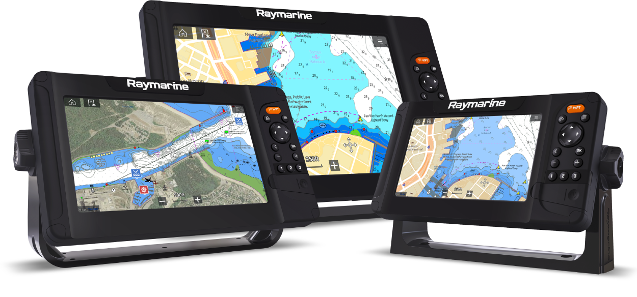
Element LightHouse Sport Operation Instructions
Let’s Go!
How to navigate this document
Legal notices
Important information
Ensure safe navigation
Minimum Safe Depth, Width and Height
Automatic route generation
Traffic separation
Radar transmission safety
Minimum Sonar Depth
Sonar operation
Electronic chart data
Network interfaces and services
PSTI Compliance
End-User License Agreements (EULAs)
Open source license agreements
Warranty policy and registration
Technical accuracy
Publication copyright
Document information
Product documentation
Printed (hardcopy) product manuals
Document conventions
Document illustrations and screenshots
Glossary
Software details
Applicable software version
Applicable products
Quantum software compatibility
Software updates
Identify display variant and software version
Identifying connected products
Updating display software using a memory card
Updating software using an internet connection
Software Release Summary
New software features and improvements
Automatic software update check
General information
Product overview
Databoxes
Editing databoxes
Data items
Menu types
Controls and settings
Set up
Display controls
Switching on and off at the breaker
Switching active app
Getting started
Startup wizard
Changing activity type
First power up Limitation on Use acknowledgement
Identifying engines
Sonar transducer calibration
Depth transducer offset
Configuring transducer settings
Performing a power on reset
Importing user data
Automatic software update check
Shortcuts
Taking a screenshot
Adjusting brightness
Changing the display's color theme
Disabling and enabling sonar ping
Disabling and enabling radar transmission
Memory card compatibility
Removing MicroSD card from its adaptor
Inserting a MicroSD card
Removing the MicroSD card
Ensure card reader cover or door is securely closed
User data import and export
Saving user data
Importing user data
EV-1 heading sensor
Manually adjusting an EV-1 heading sensor
Restarting calibration
Locking compass calibration
Multiple data sources (MDS)
Data sources menu
Manually assigning a data source
Wireless (Wi-Fi) connections
Connecting the display to a Wi-Fi access point
Configuring Wi-Fi credentials for mobile device connections
Connecting an Android device to the display
Connecting an iOS device to the display
Raymarine app
LightHouse charts
LightHouse Chart store
Downloading charts using the Raymarine app
Account settings
Pairing a Quantum-Series Radar scanner
Compatible transducers
Compatible transducers - Element HV displays
HyperVision transducers
Third party transducers
Compatible legacy transducers
DownVision transducers
Dragonfly transducers
High CHIRP sonar transducers
Legacy transducer extension cables
Compatible transducers - Element S displays
High CHIRP sonar transducers
Homescreen
Homescreen overview
Accepting the Limitations on Use
Available apps
Fishfinder app pages
Ice fishing app pages
Assigning app pages to Quicklaunch buttons
Customizing app pages
Creating a new app page
Global positioning
GPS/GNSS status
GPS / GNSS settings
Status area
Status area icons
Timer
Using the count down timer
Using the count up timer
Alarms
Acknowledging alarms
Alarm settings
AIS dangerous targets
Settings menu
Selecting display language
User interface languages
Boat details
Units of measure
Waypoints, Routes and Tracks
Waypoints
Placing a waypoint (Quick method)
Placing a waypoint at your vessel's location
Placing a waypoint (Detailed method)
Moving a waypoint
Waypoint management
Creating a waypoint group
Deleting a waypoint group
Creating a waypoint based on coordinates
Finding nearby waypoints
Panning the LiveView area
Showing and hiding waypoint groups
Waypoint sharing
Routes
Creating a Route
Use Autorouting during route creation
Autorouting
Easy Routing — Dredged areas
Traffic separation
Minimum Safe Depth, Width and Height
Autoroute - compatible cartography vendors
Differences between automatic route generation functions
Reviewing an automatically generated route
Route management
Tracks
Creating a track
Converting a track to a route
Track management
Track settings
User data import and export
Saving user data
Importing user data
Chart app
Chart app overview
Chart app controls
Chart ranging and panning
Chart app context menu
Selecting a chart card
Chart modes
View and motion
Vessel details
Viewing object information
Cartography overview
Supported electronic navigational charts
Third-party raster charts
Care of chart and memory cards
LightHouse charts
LightHouse Charts Gen 2 and improved Chart app performance
LightHouse Chart store
Pre-programmed LightHouse Chart Cards
Hybrid LightHouse charts
Redeeming a voucher code
Downloading charts from My Charts
Automatic Identification System (AIS) support
AIS target context menu
AIS dangerous targets
AIS vectors
AIS targets list
AIS Settings
AIS target symbols
Navigation
Autopilot command
Navigating to a waypoint or point of interest
Adjusting the waypoint arrival alarm
Restarting cross track error (XTE)
Following a Route
Following a route from a specified waypoint
Creating a track
Find nearest
RealBathy
Setting up and creating RealBathy contours
Reeds almanac
Tides mode
Using animation controls
Selecting a date for tide animations
Tide station information
Current station information
Displaying tide or current graphs
Chart settings
SonarChart Live
Enabling SonarChart Live
Fishfinder app
Fishfinder channel overview
Sonar technologies
Traditional sonar technology
CHIRP technology
CHIRP Sonar overview
DownVision® overview
SideVision overview
RealVision™ 3D overview
Sonar channel range
Sonar minimum depths
Fishfinder app overview
Opening the Fishfinder app
Fishfinder channels — Element HV displays
Switching fishfinder channel frequency
RealVision modes
SideVision modes
Ice fishing modes
Fishfinder channels — Element S displays
Fishfinder app controls
RealVision 3D app controls
Placing a Waypoint in the Fishfinder app
Fish detection
Sonar scroll back
Playing back sonar history
Fishfinder sensitivity controls
Sonar transducer calibration
Depth transducer offset
Configuring transducer settings
Fishfinder settings menu
Dashboard app
Dashboard app overview
Switching data page
Hiding and showing data pages
Navigation and sailing dials
Switching between TWS and AWS sailing dials
Rolling road
Customizing existing data pages
Data items
Dashboard app settings menu
Boat details
Units of measure
Advanced settings menu
Radar app
Adding the Radar app icon to the homescreen
Pairing a Quantum-Series Radar scanner
Opening the Radar app
Putting the radar into standby
Powering down your radar scanner
Radar app overview
Compatible radar scanners
Radar app controls
Radar app context menu
Radar modes
Automatic Identification System (AIS) support
AIS target context menu
AIS dangerous targets
AIS vectors
AIS targets list
AIS Settings
AIS target symbols
Range and bearing
VRM (Variable Range Marker) / EBL (Electronic Bearing Line)
Creating a centered VRM/EBL
Creating a floating VRM/EBL
Editing a VRM/EBL
Guard zone alarm
Adjusting the guard zone alarm
Sensitivity controls
Radar settings menu
Bearing alignment
Troubleshooting
Troubleshooting
Software update download troubleshooting
Downgrading software
Power up troubleshooting
Performing a power on reset
GNSS (GPS) troubleshooting
Sonar troubleshooting
Radar troubleshooting
Bearing alignment
Wi-Fi troubleshooting
Technical support
Raymarine technical support and servicing
Identify display variant and software version
Viewing product information
Saving product information
Viewing information about networked products
Saving system logs
Learning resources
Compatible autopilot controllers
NMEA 2000 PGNs
LightHouse Sport software release history
Interpreting the Sonar display
Factors influencing the sonar display
Interpreting the bottom
Interpreting objects on the sonar display
Thermoclines
Interpreting the radar display
Interpreting objects
Radar range
Radar image quality
Blind sectors
False echoes
Target smearing
Multi-path interference
Radar interference
Atmospheric conditions
Reflectors and beacons
Target Detection in clutter conditions
Gain
Sea state
Sea clutter
Rain clutter
Glossary
Navigation glossary
Sailing glossary
Document change history