Displaying and interpreting laylines
Laylines are displayed differently depending on navigation conditions.
Laylines displaying and interpreting
A tack is required to meet an active Waypoint or Goto.
The direct distance to the destination point is less than 150 nm from your vessel.
When the destination waypoint is upwind and the layline has not been reached, the laylines will be displayed as a parallelogram. Green lines represent starboard tack and red lines represent port tack.
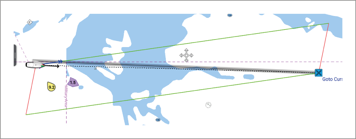
Figure 1. Example upwind laylines
When the boat passes the layline required to make the destination waypoint only 1 layline is drawn from the boat and a perpendicular layline is drawn from the destination waypoint. Red lines are used for upwind port, green lines for upwind starboard.
This layline pair creates a corridor within which the boat can sail directly to the waypoint.
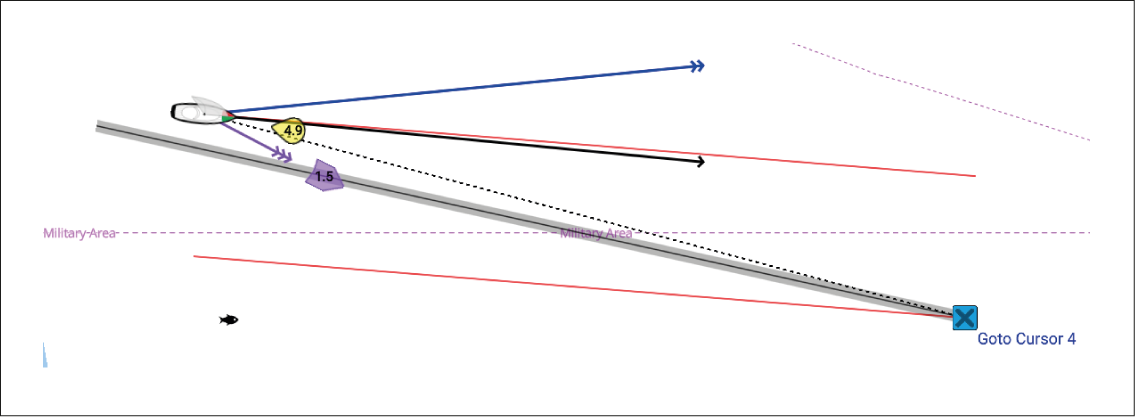
Figure 2. Example upwind port tack laylines
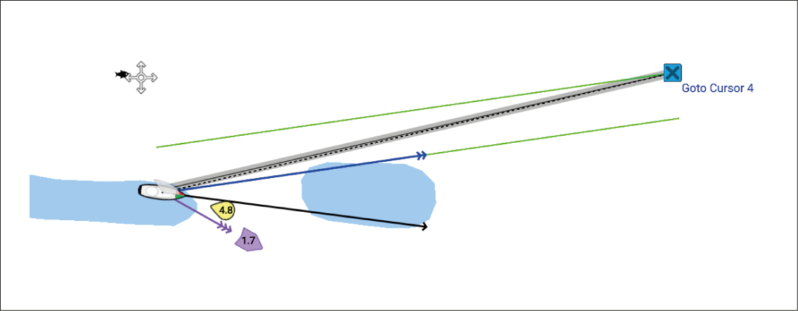
Figure 3. Example upwind starboard tack laylines
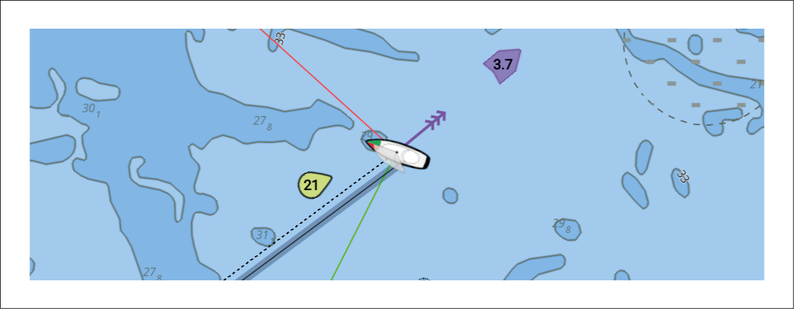
Figure 4. Example upwind boat laylines
If there is no active navigation or the destination waypoint is more than 150 nm away, only boat laylines will be displayed.
When the destination waypoint is downwind the laylines will be displayed as an orange parallelogram, adjusted for gybing.