Gulf of Mexico blocks
North American LightHouse Charts Gen 2 (2025 onwards) (or later) include Bureau of Energy Management (BOEM) block charts.
LightHouse ChartsGulf blocksBlock chartsThe BOEM block charts are a grid system that uses unique IDs for each grid block. The blocks are used as a reference in navigation and for communicating location details.
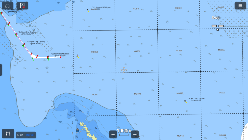
The chart blocks are only available in the Navigate chart mode when the Gulf blocks layer has been enabled from the Layers settings menu.